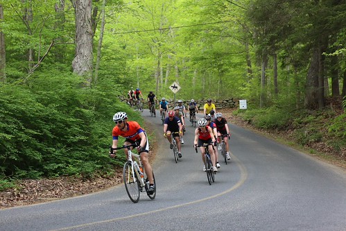
Road Bike Options – Select the one that is best for you:
Color coded wrist bands are provided at check-in and correspond to the colored direction arrows on the pavement designating the route for each ride. Additionally, the wrist band entitles the rider to a free picnic lunch following the ride.
The Challenge –66.14 miles – The name says it all. Click on the links for a detailed map. To download a .GPX file for your GPS device click here.
Follow red arrows. Ride departs at 8:00am.
The Classic – 26.09 miles – Shorter than The Challenge but still challenging. Click for a detailed map. To download a .GPX file for your GPS device click here.
Follow blue arrows. Ride departs at 9:15 am.
The Valley Long – 33.16 miles – less hilly than the Classic but longer. Click for a detailed Map. To download a .GPX file for your GPS device click here.
Follow green arrows. Ride departs at 9:00 am.
The Valley – 23.93 miles – A scenic fun ride.
Click for a detailed Map. To download a .GPX file for your GPS device click here.
Follow green arrows. Ride departs at 9:30 am.
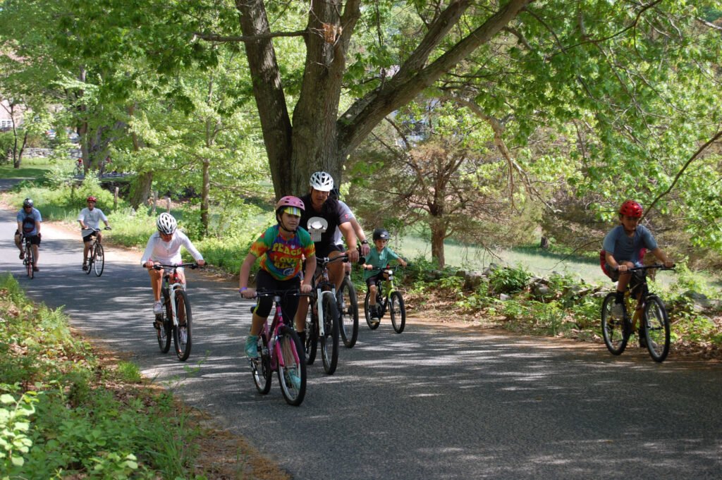
The Family –6.45 miles – Popular with seniors and ideal for families riding with children. Click the link for a detailed Family Ride Map. For Safety we will have vehicles leading and following the ride. Download a GPX file for this route.
Follow purple arrows. Ride departs at 10:00am.
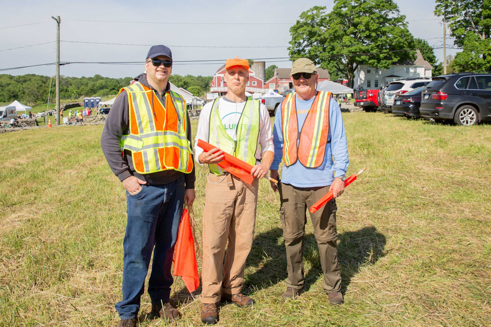
Parking
Free parking is available across the street from the Tent, where registration and lunch are located. Follow the signs to the field entrance, where volunteers will direct you.